Concept illustration
Hillsville · The Carroll County seat

Hillsville VA real estate:the county seat, and the line that runs under the town.

Hillsville is the seat of Carroll County and an incorporated town inside a county with no zoning ordinance. Every county office a landowner deals with sits on one street here, and one boundary under the town decides which rulebook, which water main and which desk a parcel answers to.

No cost, no obligation · Straight answers · Carroll, Grayson, Wythe & more
On the map

The pin, and the line it cannot draw

The marker sits on the USGS point for Hillsville, in a town the Census Bureau measures at 9.738 square miles of land. What no basemap here draws is the corporate boundary, and that is the line this page is about. A 24343 mailing address will not tell you which side of it a parcel falls on.

Hillsville, Virginia: 36.7626 N, 80.7348 W. Open this spot on OpenStreetMap.

Map tiles by Esri with OpenStreetMap data. Pins mark the town, not a parcel; ask Lowell for a parcel map.

Where the highways cross

Three U.S. routes, one interstate exit, and a state road office that is not in town

Hillsville stands near the geographic center of Carroll County. Carroll is crossed east to west by U.S. 58 and 221 and north to south by U.S. 52 and Interstate 77. Inside Hillsville, U.S. 52 is North Main Street, and the interstate runs just west of town. Most Hillsville VA real estate questions open with which of those roads a parcel touches, and close with which side of the town line it sits on.

Interstate 77 crosses U.S. 58 at the town's western corner, and the interchange that carries the town's name is Exit 14, signed for Galax and Hillsville, where the Carroll County Industrial Park sits. The county's 2024 comprehensive plan puts the interstate's traffic through Carroll at an average of 34,500 vehicles a day in 2021. The county's other interchanges are set out on the towns we serve index. West on 58 the corridor runs out through Woodlawn farm ground toward Galax.

The pavement itself belongs to the state, and the office that answers for it is not in town. Carroll sits in VDOT's Salem District rather than Bristol, and the residency serving it is Martinsville: Robin Keeler, 309 Weeping Willow Lane, Bassett, VA 24055, 276-629-2581. There is no Hillsville residency, whatever a county seat suggests, and under 24VAC30-73-40 an entrance application is obtained from and submitted to VDOT's designee for that county.

Pine Street, Hillsville

The desks a landowner deals with sit in one complex

This is what a county seat is worth to somebody who owns ground and never intends to live in town. The assessment, the plat review, the building permit, the septic file and the water main are all held in one complex on Pine Street.

The Carroll County land desks, all on Pine Street in Hillsville
What you are askingOfficePhone
Dividing a parcel, or filing a platLand Use and Planning, Ronald Newman, 605-1 Pine Street276-730-3008
A building permit, or erosion and sediment controlBuilding Official, Gary Bergeron, 605-1 Pine Street276-730-3016
Assessment, tax maps and land use taxationCommissioner of the Revenue, 605-7 Pine Street276-730-3030; land use 276-730-3080
The tax bill itselfTreasurer, 605-10 Pine Street276-730-3060
A private well or an onsite septic permitCarroll County Health Department, 605-15 Pine Street276-730-3180
Whether a public water or sewer line reachesPublic Service Authority, 605-2 Pine Street276-730-3170
Addresses and telephone numbers as the county and the health district list them. The health department at 605-15 is the Virginia Department of Health's office rather than a county department, which is why a septic or well question goes there and not to the building official. Ring whichever office holds your answer before you rely on it.

The Commissioner of the Revenue carries 32,462 taxable parcels, with the tax identification maps and the county's GIS parcel layer. The assessments now in force came out of a general reassessment contracted to Wampler Eanes Appraisal Group, begun in December of 2023 and effective January 1, 2025, so the figure on an older bill is not the figure a buyer meets. Every other county in the footprint keeps its own version of this list, on the six counties page.

The corporate boundary

The town line is not on the map. It is a book and a page.

Hillsville is incorporated and the county around it is not zoned, which makes the town boundary the most consequential line on any parcel here. It is also not drawn on any basemap you are likely to open. The Town's current charter, adopted in 1992, defines the territory of Hillsville by reference to a record filed in the Clerk's Office for the Circuit Court of Carroll County, at Book 38, page 266 and following. The line is a document before it is anything else.

It encloses about nine and a half square miles inside a county of roughly 474.7 square miles, so almost all of Carroll County lies outside it.

The provisions of this chapter shall apply to all land within Carroll County, Virginia, which is not within the jurisdiction of incorporated municipalities.

Carroll County, Subdivision of Land ordinance

That sentence is the whole distinction. Carroll County has no zoning ordinance at all, but it does have a Subdivision of Land ordinance, and that ordinance stops at the corporate line. Outside it, any division of a lot or parcel counts as a subdivision and a plat going to the Planning Commission has to reach Land Use and Planning ahead of its meeting, by a deadline to confirm with that office; what the plat has to show is on the land development page. Inside the line the county ordinance has no force, and the Town keeps a subdivision chapter of its own.

Inside the corporate limits

The Town runs the water, the sewer and a zoning book the county does not have

Inside the limits, water and sewer are the Town of Hillsville's own utility. The utility application is returned to Town Hall in person with a deposit, the Town's Utilities Director, Darrick Mayes, takes the questions at 276-728-5533, and Town Hall is 410 N. Main Street, (276) 728-2128. The Town can treat up to 125,000 gallons of water a day.

Hillsville also zones, which the county does not. Chapter 171 of the town code was adopted by Town Council on June 26, 1995, and it sorts the corporate limits into districts: residential, commercial, industrial and landfill, plus an A-1 Agricultural and Residential district written to keep farm sections from being made undesirable for farming. Farm ground zoned to stay farm ground, inside a town line, is a real thing in Hillsville. One town officer holds the Building Code Official and Zoning Administrator roles together, at extension 307.

Both governments regulate the floodplain, separately. The Town's provisions went into that same zoning chapter in June of 2004, over land identified as being in the one-hundred-year floodplain by the Federal Insurance Administration, while outside the limits the county requires a Floodplain Development Permit for development in a Special Flood Hazard Area, counting filling, grading, paving and excavating as development.

Step across the line and public water becomes a named system rather than a service area. The one reaching around town is the Public Service Authority's Route 100 system, covering Route 58 East and Route 221 North in Hillsville and beyond, along with Route 100 North, Lovell Road, Whitetown Road, Little Vine Road, Double Cabin Road, Hardscuffle and Spring Willow Road. Sewer crosses the other way: what the county collects at the Exit 14 Industrial Park area, at Fancy Gap and in Hillsville East is pumped to the Town for treatment, so the town line and the sewershed are not the same shape. Where the water comes from is one of the five factors we read before we price land, and here that answer changes at the corporate line, not at the mailing address.
Elevation and area

Rolling farmland on a plateau, and the number that belongs to a mountain

The ground around town is rolling farmland and homesites on a plateau, and the numbers attached to it are worth getting right. The U.S. Geological Survey returns 2,487 feet at the Census Bureau's internal point for Hillsville town and 2,511 feet at the mapped town point. A figure of 3,570 feet also circulates for Hillsville. That one is Fisher Peak, the maximum elevation in Carroll County, not a reading in this town.

The area figure moves as well. The Town's own page gives 8.95 square miles of land; the Census Bureau gazetteer gives 9.738, plus 0.011 of water. We use the federal figures and name the gap, because either wrong number carried into a valuation prices the wrong ground. How working ground gets priced from there is on selling a farm.

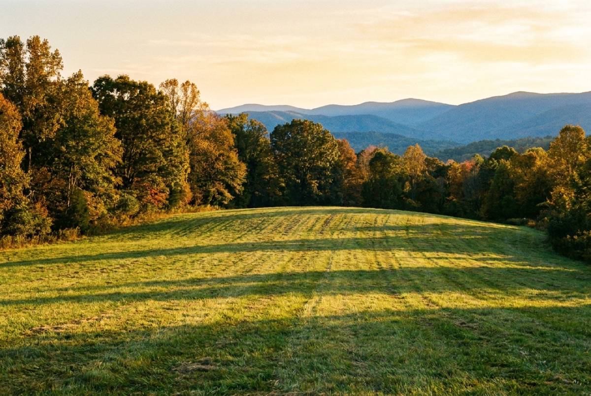
Open mowed meadow bordered by autumn hardwoods with a mountain view at golden hour
Concept illustration, not a Bowman listing. Open ground with a view is common around Hillsville. Open ground with an entrance, a well site and a drainfield area is not.
Cavalier Drive

The first new subdivision in town in decades

In late October of 2024, Hillsville Town Council approved a new residential subdivision off Cavalier Drive. The Carroll News reported it under the name Legacy Estates, and its headline called it the town's first new subdivision in decades.

Everything on this page comes from that one article and goes no further than it does. The project was first called Deer Run and its streets are now Lacy Court and Bowman Drive. Writing in January of 2025, the paper reported the plan as a three-year buildout, most likely set up with about two speculative houses built at a time. That was the plan as printed then, not a report of what stands on the ground now. Ask Lowell what has been built since. The unit count, the acreage and what the approval says about the person who would price your ground are on the page about Bowman Real Estate.

One thing in it belongs on a page about the corporate line. The project sits inside the limits, so the approval was Town Council's rather than the county's, and the developers' own estimate split the projected tax revenue between the county and the Town, then counted town water and sewer fees separately again. Two taxing authorities, one parcel.

Places, and the ask

A wholesale market at the exit, a creek trail in town, and the record on Main Street

Three places say more about Hillsville ground than any adjective can. The first is the Southwest Virginia Farmers' Market at 497 Farmers Market Drive, less than a quarter mile off U.S. 58 at Exit 14, where the retail market runs year round and a wholesale warehouse moves local produce to grocery chains through coolers and ice machines on site. The Carroll County Agricultural Fair is held there in late August. A working produce outlet at an interstate interchange is a fact about what farm ground here can still do.

The second is the Beaver Dam Creek Trail, which lies inside the corporate limits at 2,288 feet, with parking off State Route 886, Beaver Dam Road, and off Trot Town Road. Virginia's wildlife agency names the Town itself, at 276-728-2128, as the contact for it. The rest of the county's walking is in our guide to Carroll County trails.

The third is the record on Main Street. The 1873 courthouse at 515 North Main Street has been on the National Register of Historic Places since 1982, and the 300 to 500 blocks around it were listed as the Hillsville Historic District in 2002. What the building holds today, and the rest of the county's parks and history, is in our guide to Carroll County.

So send us the road name, the rough acreage, and whether the ground sits inside the Hillsville corporate limits or out on the Route 100 water system. That one answer changes the utility, the rulebook and the desk that reads the plat, and where nobody has ever told an owner which it is, establishing it is the first thing we do. From there it runs through the same five steps as every land listing. The property this office is marketing at a Hillsville address today is the inn and cabins at Volunteer Gap.

Listed by Bowman

What Bowman is marketing now

Status and price come from the SW VA Association of REALTORS MLS record at every build; a listing that leaves the market leaves this page the same day.

Active

The Inn & Cabins at Volunteer Gap

Hillsville · Carroll County
$1,150,000

An operating eight-room inn plus five private cabins and an event barn near the Blue Ridge Parkway, on 6.6 acres with two ponds.

Road frontage
Ask Lowell
Topography
Ask Lowell
Utilities
Ask Lowell
Acreage
6.6 acres
Access
Volunteer Road, Fancy Gap area
Restrictions
Ask Lowell
See the listing page →
Get started

Ask which side of the line

Send a few details and Lowell will come back with an honest read. No cost, no obligation.

Office107 Raintree Road, Hillsville, VA 24343
Goes straight to Lowell Bowman.

Got it. Thank you.

We'll be in touch shortly with an honest read.

Questions

Good questions, straight answers.

Can a property outside the Hillsville town limits connect to town water and sewer?

That is a parcel question, and no published town policy answers it either way, so do not assume it from an address. Inside the limits, water and sewer are the Town's own utility and the account opens at Town Hall with a deposit. Outside them it is a county Public Service Authority system where one reaches and a private well where none does. Call the Town's Utilities Director at 276-728-5533 first.

Does the Town of Hillsville have zoning even though Carroll County does not?

Yes, and that is the unusual part. The county has no zoning ordinance. The Town adopted its zoning chapter on June 26, 1995, sorting the land inside the corporate limits into agricultural and residential, commercial, industrial and landfill districts, with floodplain provisions added in 2004. A parcel inside the town has a zoning district; a parcel across the line has none. Ask Town Hall at 276-728-2128.

Who reviews a subdivision plat inside the Hillsville town limits?

The Town, not the county. Carroll County's Subdivision of Land ordinance says on its face that it applies only to land not within the jurisdiction of incorporated municipalities, so it does not reach inside Hillsville. The Town keeps a subdivision chapter of its own, and the officer holding the Building Code Official and Zoning Administrator roles is the place to start, at 276-728-2128, extension 307. Divisions outside the limits go to county Land Use and Planning at 276-730-3008.

How high is Hillsville, and why do published figures for the town disagree?

The U.S. Geological Survey returns 2,487 feet at the Census Bureau's point for the town and 2,511 feet at the mapped town point. A highest elevation of 3,570 feet is sometimes attached to Hillsville, but that reading is Fisher Peak, the county maximum. Land area splits the same way: the Town publishes 8.95 square miles and the Census gazetteer gives 9.738. We use the federal figures and say where they differ.

Sources

Where this page's facts come from

Every rule, office and figure above traces to one of these. Rules change; check the office before you act on one.